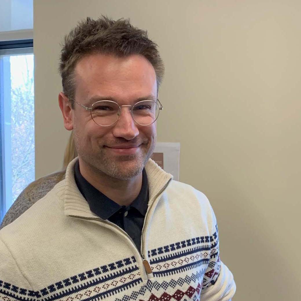
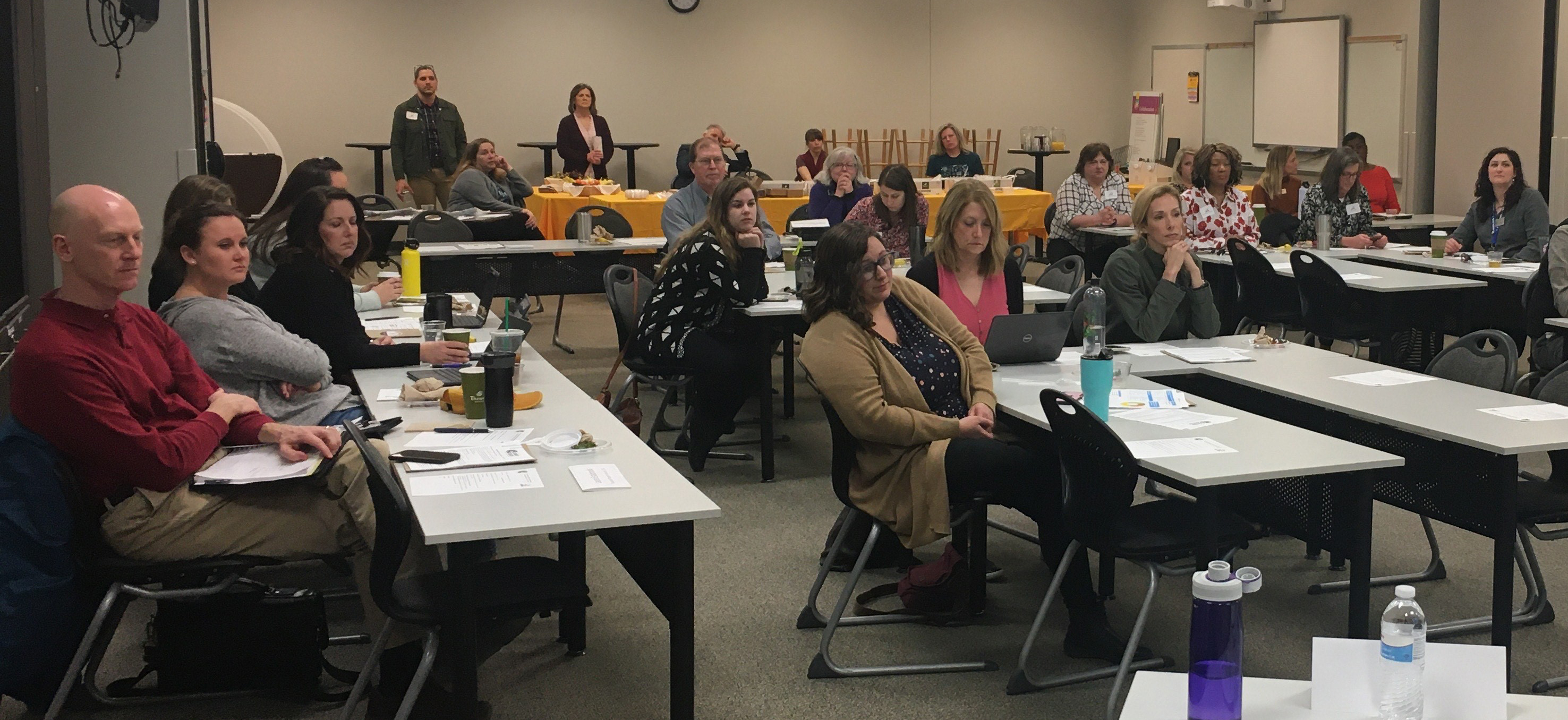
Tom Vought, the geography department’s senior GIS Specialist, spoke at the Columbia Area Career Center’s Geospatial Intelligence Speaker Panel in early March in front of junior high and high school guidance counselors who came to learn about GIS and to discover how to better advise students into GIS careers.
Vought was joined by Tim Bixler, GIS supervisor with the Missouri Department of Conservation; Joseph Carter, senior GIS specialist with the Missouri Department of Transportation; Christopher Dunn, a geospatial forensic scientist with GeoVelo; Jason Long, with the National Geospatial Intelligence Agency; and David Nail, a national map liaison for the U.S. Geological Survey.
“We all talked about pretty much the same thing,” Vought says. “How we got into GIS, what we use it for, and what kind of skills and education we look for in hiring new employees. The purpose was to explain the role of GIS in the professional world to school counselors.”
Those in attendance responded well to the presentation. “They seemed very excited to learn more about the technology and how it is used,” Vought adds. “They were a very receptive audience. They asked good questions. They were clearly interested in knowing more about what kinds of students they might look for to advise GIS as a career.”
He said many advisors were aware of GIS technology and had some interest in GIS, which is the technology and theory of using digital special data to answer questions and solve real-world problems. Career counselors asked questions such as “What kind of students would you advise to enter a geospatial career?” and “Would we be willing to have students shadow us?” (The answer was “yes.”)

