Alumni Corner: David Roberts

David Roberts

Geography Department: When did you graduate from MU and what degree did you acquire?

Roberts: After four years at Mizzou, I completed my BA degree, with honors in geography, in June 1972, and received my MA degree in December 1973.


Geography Department: What are your fondest memories of being a part of geography?

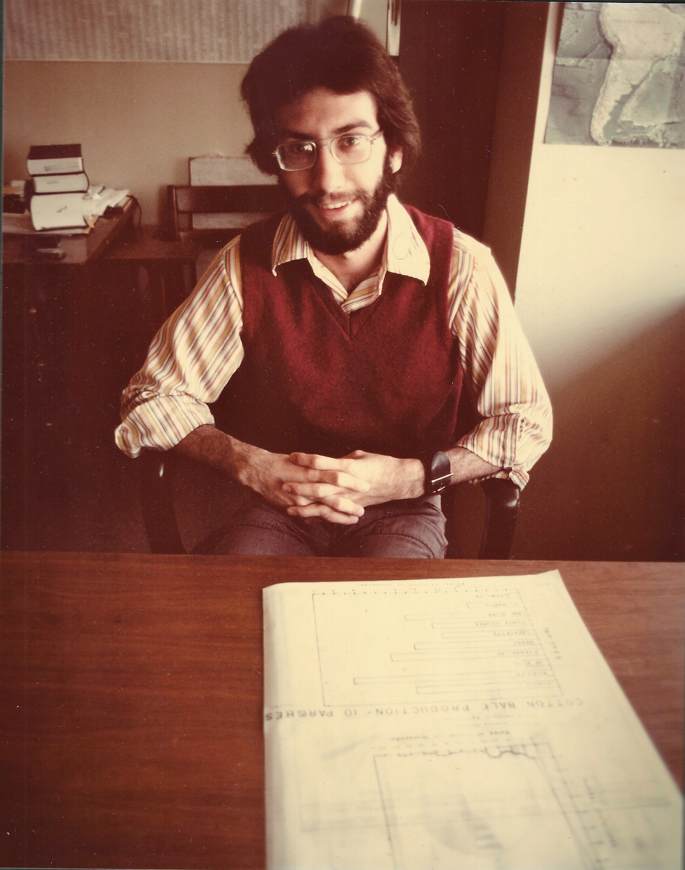
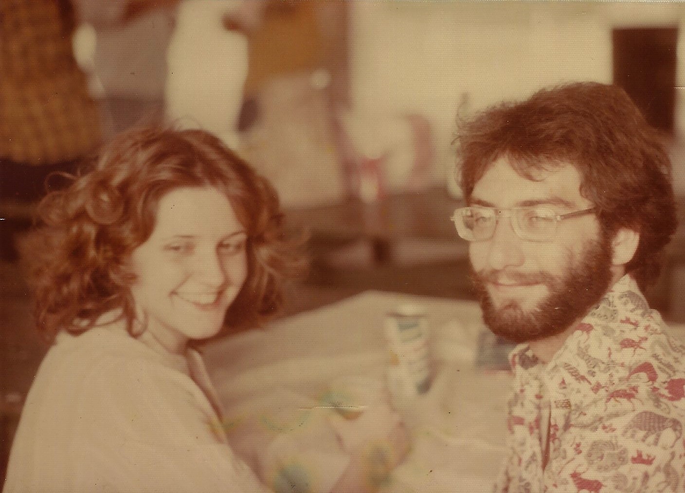
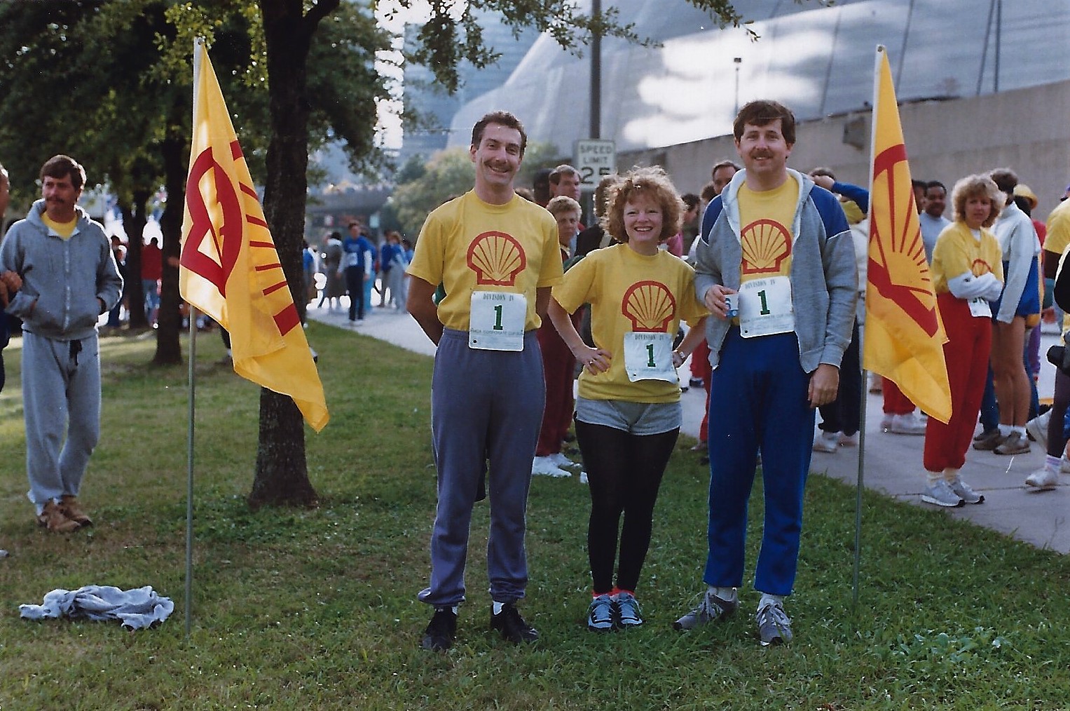
Roberts: As a teaching assistant, I was assigned a desk in the graduate assistants’ room in the geography department, which at that time was in McAlester Hall at the edge of campus. It was the first time I found myself in the company of other students who were as geeky about maps and geography as I was. About half of the graduate students at that time were Vietnam veterans. The veterans were older, more experienced in life, many were married, and had traveled the world more than those of us just completing our bachelor’s degree. The camaraderie among the students had a positive impact on the level of effort we each put forth in our studies. Friendly academic competition was complimented by off-campus parties and field trips. One field trip I remember was climbing the bluffs along the Missouri River near Easley, Missouri, with Dr. Noble and his family and several others. The geography program forged strong bonds among the graduate students and fostered friendships that, for me, have lasted a lifetime.

"I can still hear Dr. Wheeler and Dr. Kostbade telling me that I want to answer two questions: 'So what?' and 'Who cares?' —  If my lecture, map, or paper does not answer these questions, I have failed to get my message across."

David Roberts 

Geography Department: What were some of the most important concepts you learned while taking geography classes?

Roberts: Communication is the key concept I learned in the Mizzou geography program. Whether I am teaching a class, drawing a map, or writing a paper, I was taught to listen to what I am saying, look at what the map content is telling me, and think about what I am writing. I can still hear Dr. Wheeler and Dr. Kostbade telling me that I want to answer two questions: “So what?” and “Who cares?” —  If my lecture, map, or paper does not answer these questions, I have failed to get my message across. I must explain or illustrate why my topic is important, and describe or show who is impacted and what the significance of this topic is to the listener or reader. These communication skills have served me well in all the jobs I have had throughout my career.

A list of some of the Department of Geography's course offerings.

Geography Department: Would you recommend the MU Department of Geography to other students? Why or why not?

Roberts: Well, I must admit that it has been more than 46 years since I last attended Mizzou, but after looking at the current geography department curriculum, I see that there are quite a few changes for the good.

Today there are twice the number of faculty positions, and the faculty is more diverse in the range of topics offered than when I was in school. Mizzou geography has moved into the 21st century with courses such as Geographic Information Systems, remote sensing, geospatial technologies, geoinformatics and climate change.

And there are other new courses such as environmental change, globalization and identity, the city, geography and planning, and geography of travel and tourism that are very relevant in today’s world. The traditional courses in regional, economic, physical, historical, and cultural geography are the foundation of geography upon which these new courses build. The courses offered in this program are spot-on the hot topics geographers need to know in today’s working world.

Mizzou geography has had a tradition of hiring excellent professors, and has turned out graduates who are qualified to teach geography and to practice applied geography in business and government. I would expect the current faculty follows in this tradition. Based on my experience in the department and on the current program of courses now being offered, yes, I would recommend Mizzou geography to other students

Dave at his desk in 1975 at the University of New Orleans.

Geography Department: What have you done since your graduation? How did your education help with your successes?

Roberts: Upon graduation, I had a degree with a focus on urban planning and experience in teaching geography and in cartography. While I wanted an urban planning job, my first job offer in 1974 was an instructor in geography position at the University of New Orleans (UNO). There, I taught geography and cartography and became a self-employed cartographer for the faculty at UNO. UNO paid me for only nine months, so for two summers I worked at the U.S. Army Corps of Engineers in New Orleans, where I became acquainted with aerial photographs and photo mosaicking. Piqued by this lack in my knowledge, I enrolled in a photogrammetry and remote sensing class at Louisiana State University (LSU) in Baton Rouge in my free time. I saw LSU also had a course in computer cartography, which was in its infancy in those days, so I also took that class, and then took a couple of computer programming language classes at UNO. Realizing that computers would play a large role in the future of cartography, I incorporated my new knowledge into the cartography class I was teaching.

Dave and Suzanne ("the most beautiful girl in New Orleans").

My contract with UNO maxed out after five years, but in the meantime, I had fallen in love with and married the most beautiful girl in New Orleans, Suzanne. Suzanne had a BA in anthropology and had just finished her MA in sociology when my contract expired. She was accepted into the PhD program in medical anthropology at the University of California in San Francisco, so we moved to San Francisco in 1979.

I had always wanted to work at the U.S. Geological Survey but they were not hiring cartographers at that time. I did land a position with a small photogrammetric engineering and hydrographic surveying company, Towill Inc., in downtown San Francisco.

At Towill, I operated their computer system, located survey control points on aerial photographs, and learned about aero triangulation and photogrammetric processing on the computer. These were still the early days of computer processing, and involved key-punch machines, large boxes of computer cards, and overnight processing times to get aero triangulation results. After three years, and adding a baby boy, Nicolas, to our family, Suzanne had completed her coursework and was ready to do the research for her dissertation — in New Orleans.

Dave on the Shell Team, 1986, during a 5K Corporate Cup Race.

So back in New Orleans, I got a position in 1982 with Shell Oil Company in their drafting department. There, I learned a lot about oil leasing in the Gulf of Mexico and spent many overtime hours preparing viewgraphs (cellulose acetate sheets for overhead projectors) of different areas of the Gulf of Mexico for oil lease sales. Shell was on the brink of digitizing their maps and I wanted to be involved. I discovered that Shell would pay for college courses related to my work, so I went back to school at night and completed a BS in Computer Information Systems at Tulane University. It paid off; I was moved to the computer-drafting section and took classes on their new Intergraph (now Hexagon) system in Huntsville, Alabama and Houston, Texas. I supervised a small group that digitized all of Shell’s seismic lines across the Gulf-Atlantic coastal plain, an enormous undertaking. I also wrote a digital time and attendance program to streamline timekeeping for employees in our department. Six years later, Suzanne had completed her research and had written her dissertation to complete her PhD, and got a contract job —yep, in San Francisco.

Dave and Suzanne moved to San Francisco. In 1988 Dave got a job with the National Mapping Division of the USGS in Menlo Park, California.

“Luck” can be defined as “when preparation meets opportunity.” Well, I was very lucky this time in San Francisco; I finally got a position in 1988 with the National Mapping Division of the USGS in Menlo Park, California, not as a cartographer — but as a computer specialist.

The USGS was in the middle of digitizing and scanning all their topographic quadrangles, and I was the manager of the computer system that processed the digital data for their digital line graph work. After about a year, I was converted to the cartographer series and became a supervisor for one of the DLG sections. After another year-and-a-half, I became the chief of the GIS Research Laboratory.

The USGS had three GIS Research Labs across the nation, which were interdisciplinary working areas where geologists, hydrologists, and cartographers could experiment with new technology and software to help them with their scientific studies. At that time, ERDAS and ESRI’s Arc/Info were the new graphics tools that everyone wanted to learn, so we ran an extensive training program from the Lab for USGS employees.

Dave presents an award to an employee at USGS in 1994.

In another part of the Mapping Division, very smart programmers were working on computer software to speed up processing time for a new 1-meter resolution digital orthophoto product that would complement the USGS topographic quad. The process matched every pixel of a digital aerial photo with a latitude and longitude coordinate and an elevation, which required a 10-meter resolution digital elevation model for the best accuracy.

When processing time got down to less than 12 hours per quarter-quad, the USGS planned to begin contracting for national digital orthophoto coverage. After two years in the Research Lab, I was asked to work on a team to create orthophoto QA/QC procedures for the contractors to follow. Contracting began in 1993 and I became chief of the QA/QC and Logistics Section that managed and inspected contractor products for quality upon completion.

I also was the Contracting Officer’s Technical Representative for two of our six contractors, and made site visits to ensure the contractors understood and applied the correct processes that would result in high-quality orthophoto products.

Dave receives an award from the director of the USGS in 1998.

After about a year in my QA/QC role, Suzanne’s contract funding dried up and we decided to move, as we could not afford to stay in San Francisco on one salary. Suzanne wanted a faculty position, and after exploring several offers, settled on Catholic University in Washington, D.C. So, in 1994, after six years with the USGS in Menlo Park and adding a baby girl, Marguerite, to our family, I transferred to the USGS headquarters office in Reston, Virginia, just outside Washington.

My timing could not have been more perfect; the digital orthophoto program was just taking off and they needed a program manager. While I was disappointed to leave my technical work behind, being at USGS headquarters offered new opportunities for learning how the National Mapping Division (now the National Geospatial Program) worked.

One new responsibility was to oversee the USGS-classified imagery program, where products were made for special purposes from National Source. As a program manager, I received a budget I leveraged with other federal, state, and local agencies that wanted orthophoto coverage. Digital orthophotos were the hot new USGS product in the 1990s and I managed as many as 400 ongoing projects with many partners each year through these years. By 2003, in just 10 years, the USGS completed orthophoto coverage of the Lower 48 States.

Dave and family moved to the Washington, D.C. area in 1994.

After September 11, 2001, the National Geospatial-Intelligence Agency, the mapping arm of the Department of Defense, approached the USGS to partner in a high-resolution orthoimagery product over urban areas of the nation. In 2002, the 133 urban areas project was begun to create 1-foot resolution orthoimagery using 3-meter digital elevation models for all 50 state capitals and the largest urban areas in the nation.

Initially the USGS contributed funding to this product, but in 2004 orthoimagery funding was cut substantially, and the USGS’ National Aerial Photography Program, the team that collected the photography used in making orthoimagery, was terminated. The collection of aerial photography and the making of orthoimagery products were both moved to the private sector as part of the President’s effort to downsize government and privatize some government operations.

All USGS mapping products are stored in a database called The National Map https://www.usgs.gov/core-science-systems/national-geospatial-program/national-map, and data downloads are free. In 2005, both Microsoft and Google downloaded the entire The National Map data set and today both companies make this data available for the public through Bing Maps and Google Maps, and can be viewed on every computer, every laptop, and every phone in the nation.

Dave with wife Suzanne, son Nicolas, and daughter Marguerite in 2010.

With my workload reduced through budget cuts and program termination, in 2005 and 2006 I was assigned the task of writing a section of the USGS budget proposal to Congress for the next year. This is when the writing skills I learned at Mizzou geography began to pay off. I got so interested in the budget process, I took a detail to the Department of the Interior’s Budget Office in Washington D.C. during the summer of 2006 to see what the work involved. To my surprise, I liked the work, and more importantly, the Budget Office liked me. So, in 2007, after 19 years with USGS, Interior’s Budget Office hired me as a budget analyst to manage two accounts: the budget of the USGS, and the budget of the Office of Insular Affairs, the office that manages our Nation’s island territories.

My work at Interior’s Budget Office was as much about writing and giving briefings to the Office of Management and Budget and to Congressional staff members as it was about budget numbers. Each year, the Budget Office wrote a synopsis of each Bureau’s budget proposal for Congress. My budget synopsis for the USGS would reduce USGS’ scientific terms into simpler language that might have more meaning to the Congressional staff, explaining, for example, why the USGS wanted additional funding for climate change and how this new work would affect their constituents. I learned that Senators and Representatives are not always the sharpest knives in the drawer, and it was important that I break down the USGS’ scientific language into answering two questions, “So What?” and “Who cares?,” a lesson I learned many years ago at Mizzou geography. After eight years in the Budget Office, I retired in 2015.

"It is important to learn all you can from your professors, as each one is an expert in his or her own field, and to begin putting skills in your toolbox, as you never know which ones you will need in the future."

David Roberts

Geography Department: What advice do you have for other students who may be considering a geography degree or who are already in our program?

Roberts: It is important to learn all you can from your professors, as each one is an expert in his or her own field, and to begin putting skills in your toolbox, as you never know which ones you will need in the future. Learning does not stop when you complete your degree, but is accelerated on the job after graduation. You should keep an open mind, learn new systems, take more classes, stay as flexible as possible, find your strengths and use them to your advantage.

Outside of academia, not everyone will know what a geographer can do, and it may be necessary to look for a job description that identifies your skill set, but is called by another name, for example, environmental planner or climate change specialist. Suzanne and I had a dual-career marriage (and that is possible, by the way), which meant we moved around and changed jobs when it became necessary. Each new job presented us with new opportunities for learning and, I think, kept us fresh. If you have a career goal, keep reaching for that goal, no matter how elusive. My goal was to work at the USGS, but I did not get there until I was 38. But the three jobs I had before I arrived at the USGS better prepared me for the work that I was assigned there than if I had started at the USGS straight out of college. So, keep the faith and believe in yourself.

Dave and Suzanne in 2016.

Geography Department: Anything else you’d like to add?

Roberts: For those curious few, Suzanne ended up as a medical anthropologist at the National Cancer Institute, one of the National Institutes of Health. She is retired from the NCI, but continues working on the Board of the American Anthropological Association and is also president of the Washington Association of Professional Anthropologists. I am very proud of her.